Resources: Google Maps
Terminology: Small Angle Formula, Percent Error Formula
For this part, you will use Google Maps to determine the distance to the Old Capitol Dome. Then your TA will take you up to the roof where you can use your angular size measurement device to measure the angular size of the Old Capitol dome in degrees.
Once you have measured the angular size, you will use either the tangent formula or the small-angle formula (whichever is most appropriate) to calculate the dome diameter in meters. You will then use Google Maps to find and record the actual diameter of the Old Capitol Dome. Finally, you will compare your calculated (experimental) distance to the actual diameter and determine its accuracy using the Percent Error Formula.
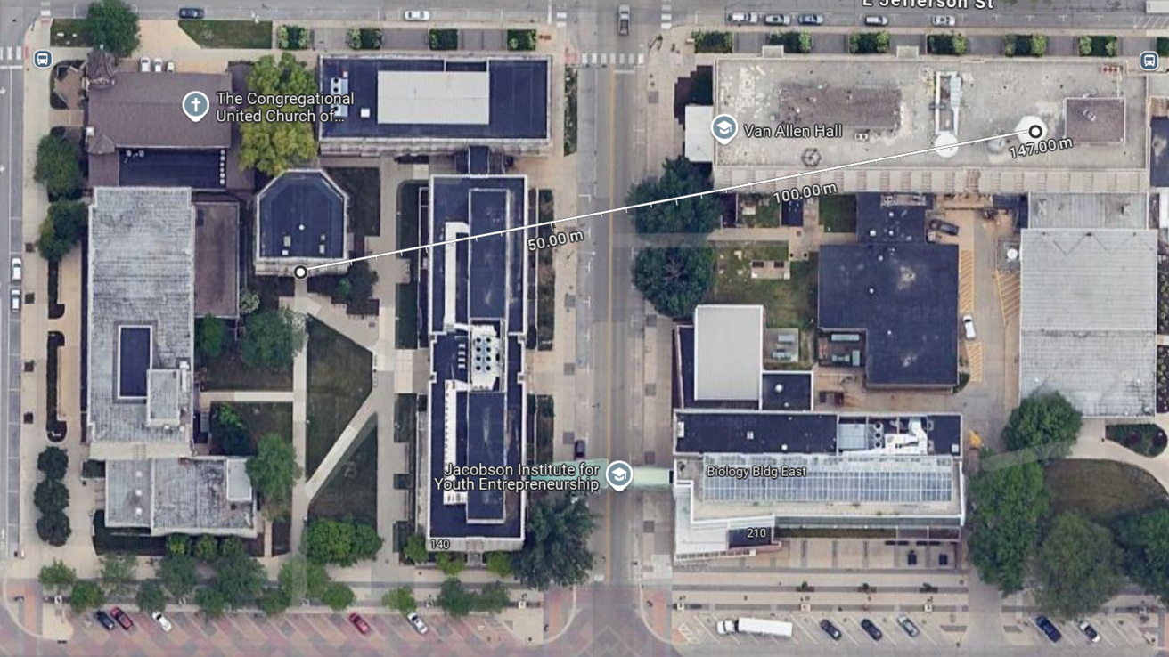
To measure distances within Google Maps:
Select "Layers" in the bottom left corner, then select the "Satellite" view.
Right click on the map at your starting point and select "Measure distance". Then left click at your ending point. It will now list the distance between these two points.
Note: You can adjust the markers by clicking and dragging them.
In the example below, the distance from the VAO to the Science Library is about 147 meters.